This new mapping is likely to inform a wide range of environmental policies and land management schemes in the coming years, including Local Nature Recovery Strategies, emissions reporting, and future land use planning.
.
Defra says the map forms a national dataset, showing where peaty soils are found, how deep they are, and what condition they are in.
It replaces previous peat mapping based on much older data and limited detail, such as the ‘peaty soils location’ map from 2008 and mapping from the 1980s based on extensive core sampling.
“Accurate baseline data is essential if this map is to guide effective policies for protecting peatlands while supporting sustainable food production.”
NFU Deputy President David Exwood
Concerns about inaccuracies
Following concerns on some of the map's data, NFU Deputy President David Exwood said: “We’ve received feedback from some of our members highlighting concerns about inaccuracies in Defra’s recently launched map of England’s peatlands. In several areas, peat is being shown where it doesn’t exist and omitted where it does.
“Accurate baseline data is essential if this map is to guide effective policies for protecting peatlands while supporting sustainable food production. Without reliable data collection methods, farmers cannot have confidence in future land management policies.
“We have raised these issues with Defra and will continue to press for a properly funded mapping process to prevent these kinds of errors in the future. We’d also encourage members to give feedback on the map if they haven’t done so already.”
If you farm on land that is or was once peat, the NFU would be interested in your views on how accurately the new map represents the soils on your farm. Please provide any thoughts and feedback to [email protected] or your regional environment adviser.
The new EPM (England peat map) was commissioned by Defra and delivered by Natural England as part of the Nature for Climate programme and the NCEA (Natural Capital and Ecosystem Assessment). It draws on a large body of existing survey data, enhanced with new field surveys and satellite imagery, and uses machine learning techniques to model peat extent and depth at a higher resolution than ever before.
Why this matters for farming
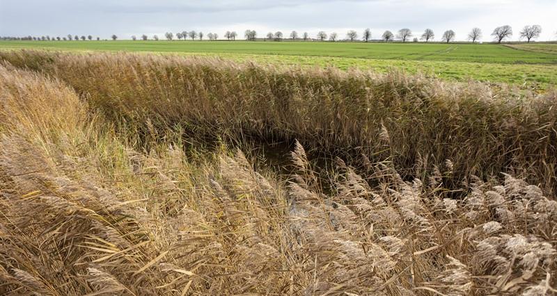
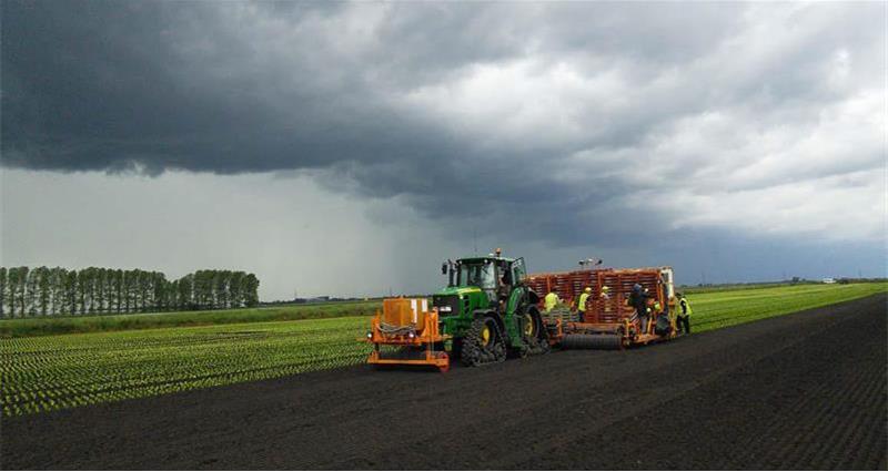
Peatlands are important for carbon storage and water management, but many are also working agricultural landscapes, particularly in the lowlands where peaty soils underpin productive horticulture and arable farming.
While the map itself does not change how land can be used, it will be used as evidence to support future decisions and policy development.
What does the map show?
- Peaty soils now cover an estimated 11,047km², slightly less than previously thought.
- The map includes information on peat depth, with peats ranging from shallow organic-rich soils to areas with over 10m depth.
- Vegetation and surface features are mapped on peaty soils, providing indicators of condition.
NFU work
�ʼһ���continues to work with Defra and Natural England to:
- Highlight the role that productive farmland on peat plays in food security and the rural economy.
- Champion practical, evidence-based approaches to peatland restoration and management, co-designed with farmers.
- Ground and sense check the accuracy of the map with our members.
- Ensure the map is used proportionately and transparently in future policy decisions.
We remain committed to working closely with farmers and government to ensure the England peat map supports sustainable land management and thriving agricultural businesses. It’s essential that any decisions informed by the map are shaped through strong partnerships with farmers and reflect local expertise.